Carretera Austral
We did find our highlights along the famous Carretera Austral as you will read below. A large portion of the road itself did not quite live up to our expectations though. Part of it may be due the quite common rains that we experienced during our driving days. Especially the northern section is almost entirely paved and goes through forests again, which therefore does not offer very exciting views. The whole area is also overcrowded and very touristic. It seems that this route has been hyped enough so that everybody wants to do it, including hundreds of cyclists and hitchhikers.
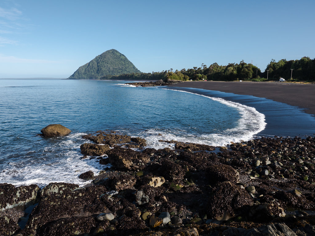
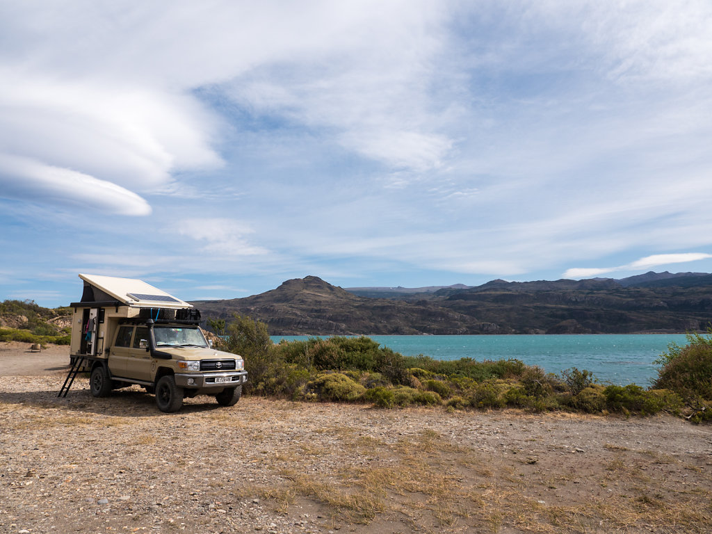
Playa Santa Bárbara
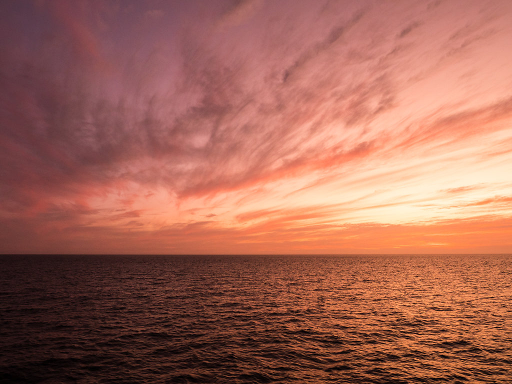
The ferry crossing from Chiloé to mainland Chile was delayed and we arrived only after 11pm. It seemed that this was pretty much the regular procedure though and schedules are just guidelines. In turn we got some nice sunset views from the ferry.
We camped at the beautiful Playa Santa Bárbara where dolphins and seals can be observed (not pictured).
After we got ourselves ready for the Carretera in Chaitén we headed southwards and stopped at the well-organized Termas El Sauce. These hot springs were a welcome change in-between rainy days. Since we camped there, we had the springs almost to ourselves in the evening and the next morning.
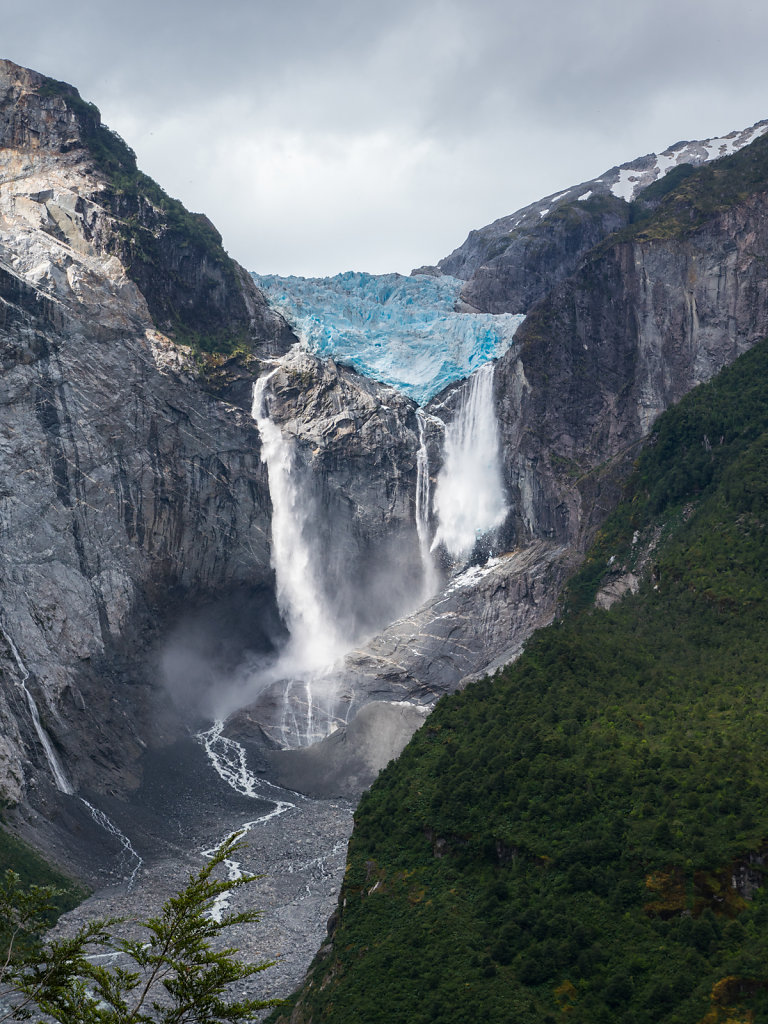
Ventisquero Colgante
Another boring hike through forests offered rewarding views of this "hanging glacier" at the end of the walk. Some ice broke off the very moment we arrived at the viewpoint. Standard park entry fees of US$10 per person (foreigners pay double fee) and park closure at 5:30pm are the more annoying part of the experience. We were guided to the park exit by a ranger at 7pm.
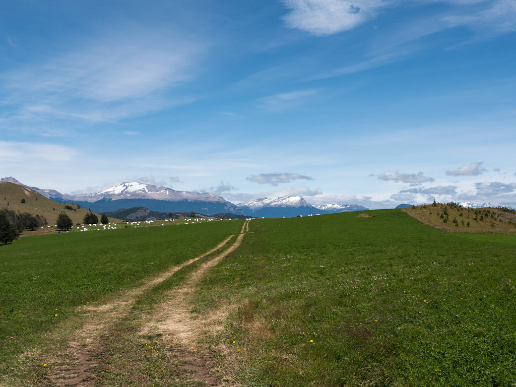
Southern Section & Lago General Carrera
After Coyhaique the trees disappear almost completely. This makes for a lot better views than during the first stretch.
We found the most beautiful landscapes in the larger area on and around Lago General Carrera, all described below.
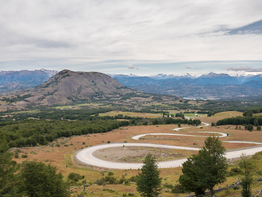
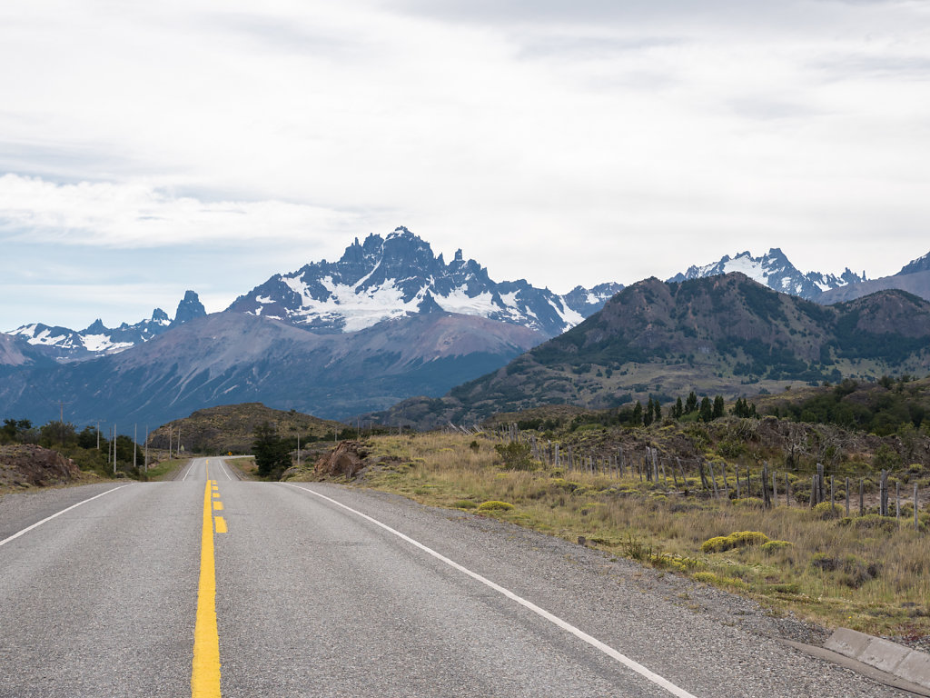
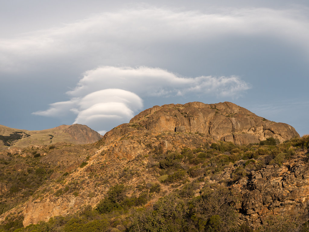
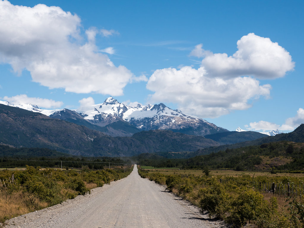
Cerro Castillo & Puerto Ingeniero Ibáñez
Approaching Villa Cerro Castillo, more snow capped peaks appear.
Cerro Castillo is one of the most prominent, but hid itself behind clouds most of the time during the three days we were in sight of the peak. Therefore this is the only meaningful picture we have.
We spent a sunny evening and a windy night directly at the shore of Lago General Carrera in Puerto Ingeniero Ibáñez.
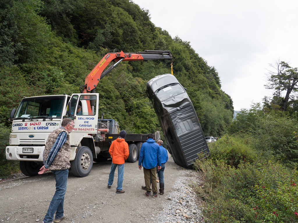
Rain set in during the night and would continue the next day when we drove towards Villa Cerro Castillo again.
From here southwards the road remains gravel. We have been warned on multiple occasions to drive carefully. Here is why:
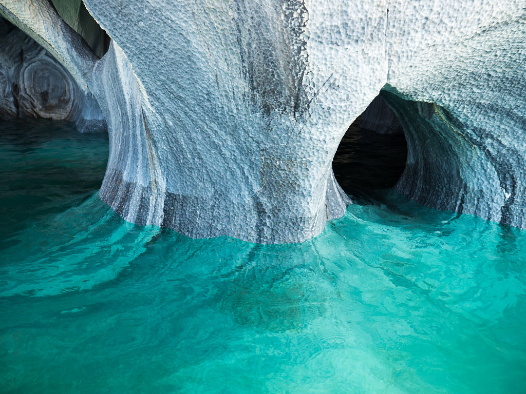
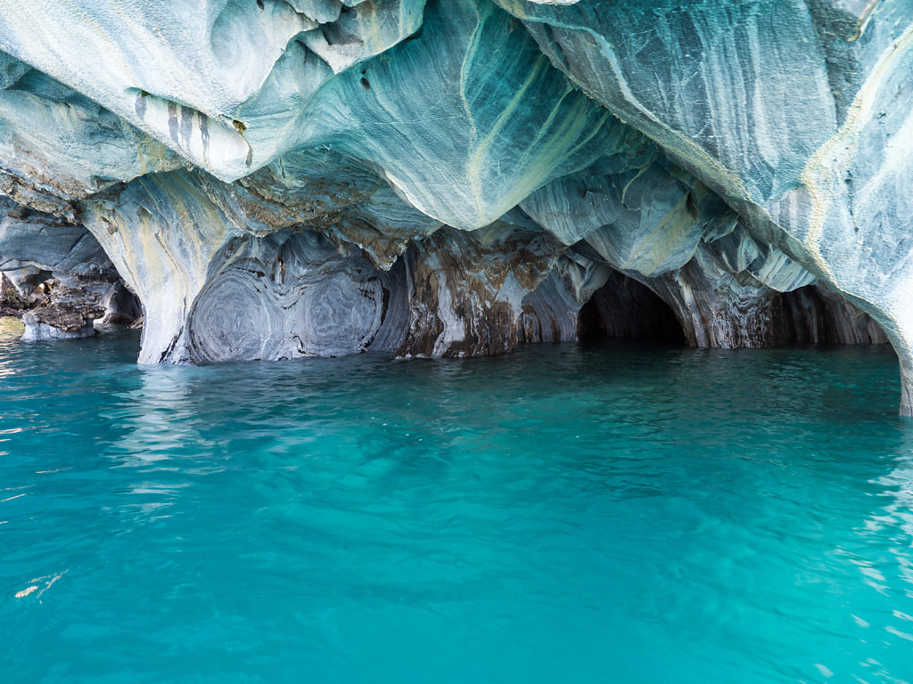
Capillas de Mármol
These marble caves must be visited by boat in the morning when the sunlight makes the colors shine of these tunels, chapels and cathedrals.
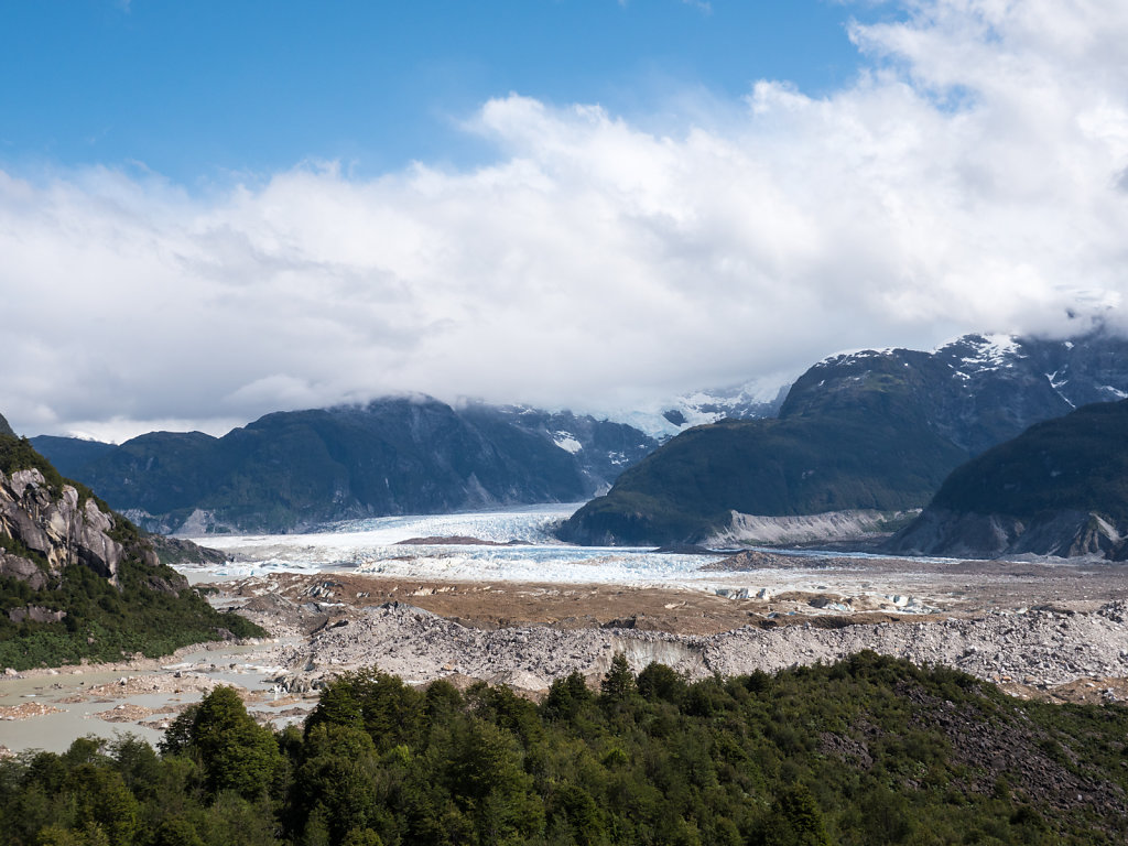
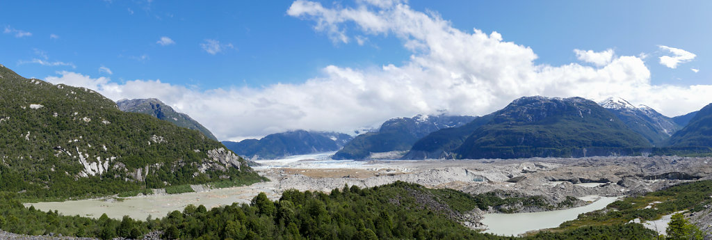
Valle Exploradores
The Valle Exploradores leads to view and access points to a huge ice field. Already when driving through the valley, glaciers can be seen in every corner.
Glaciar Exploradores is the most easily accessible and a view point is reached within 20 minutes from the access road.
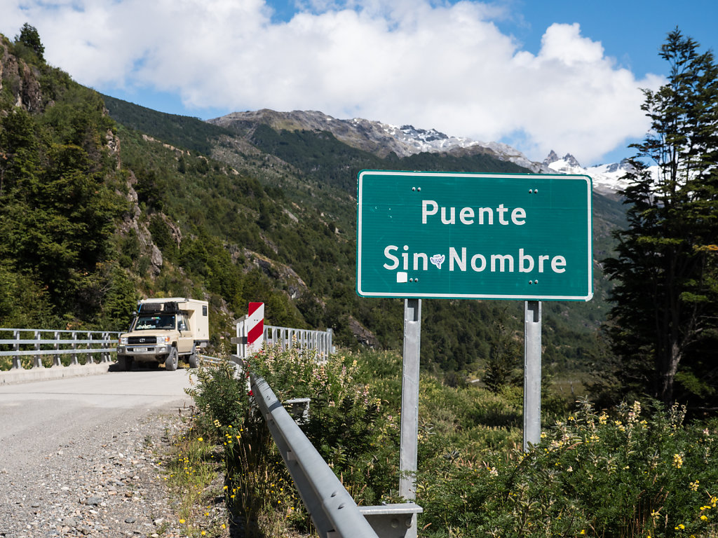
Sidetrack on signboards
Most South American countries do not have many road signs in general. Many do however signpost tunnels and bridges with their respective names. Because they do this very strictly, this leads to this type of sign every now and then.
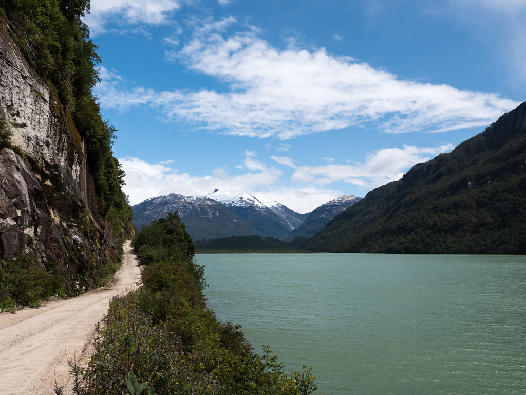
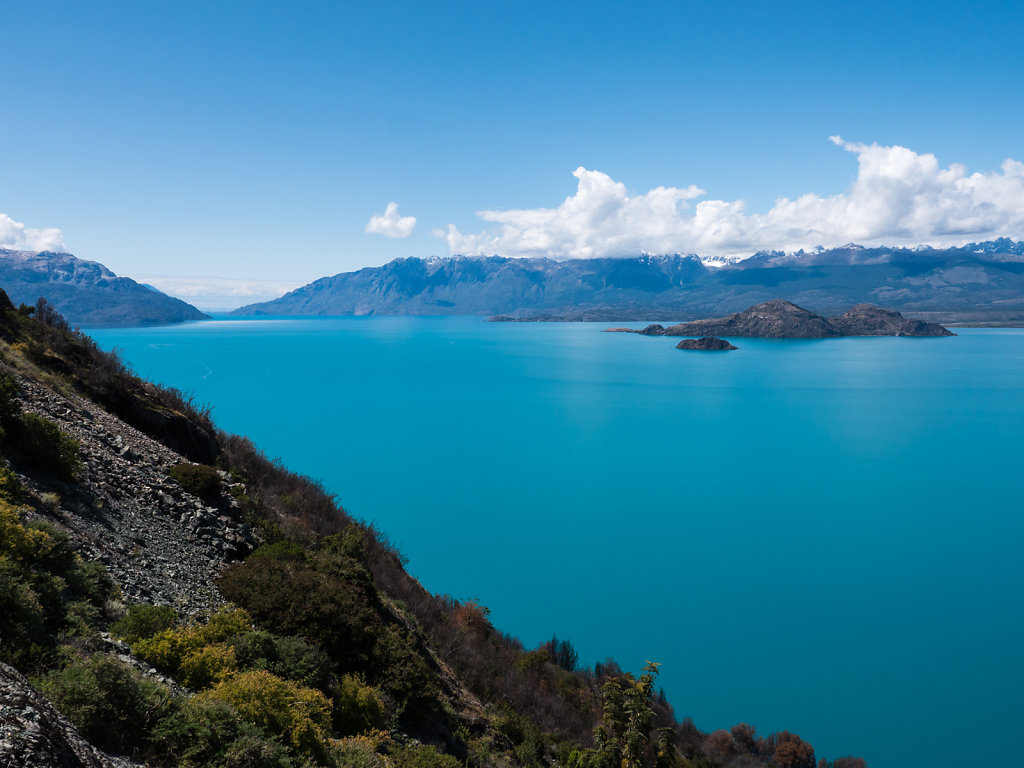
Lago General Carrera
On the western side the road follows the shore of Chile's largest lake and offers stunning surround views of the turquoise waters.
More snow capped mountains after every turn.
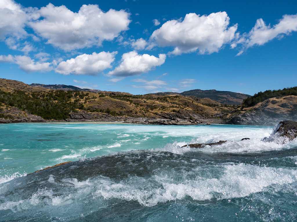
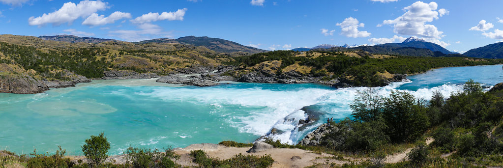
Río Baker
Río Baker originates from Lago Bertrand which in turn originates from Lago General Carrera. It therefore has the same turquoise color. The cascadas just before the confluence with Río Nef are very beautiful and we could get close up with the water.